
Koh Tao or Koh Phangan: which place suits you?
Koh Tao covers around 25 square kilometres, and almost everything on the island revolves around diving and snorkelling. At 168 square kilometres Koh Phangan is much larger and hilly, and it also has scenery away from the water.
Koh Tao and Koh Phangan compared
| Koh Tao | Koh Phangan | |
|---|---|---|
| Region | South, Gulf of Thailand | South, Gulf of Thailand |
| Character | Small island for divers | Quiet bays, loud full moon nights |
| Best time to visit | Late December to September. | From February to September it usually rains only moderately. |
| Getting there | Catamaran from Koh Samui in 1.5 to 2 hours, from Koh Phangan in just over an hour, landing at Mae Haad pier | Catamaran from Koh Samui to Thong Sala in 20 to 30 minutes, car ferry from Donsak on the mainland in about two and a half hours |
| Rain over the year | Koh Samui station, approx. 73 km away | Koh Samui station, approx. 30 km away |
| Highlights |
|
|
- dry under 60 mm
- changeable 60 to 150 mm
- rainy season over 150 mm
Bars: rain per month from January to December. Weather figures: Thai Meteorological Department (TMD), climate averages 1981 to 2010, rounded. All monthly figures are on the weather page: Koh Tao and Koh Phangan.
How to decide
Choose Koh Tao if you …
- want to learn to dive: the Open Water course takes about three days and costs around 9,000 baht with SSI, around 11,000 baht with PADI.
- want to snorkel straight from the beach: in Tanote Bay the coral starts just a few metres out.
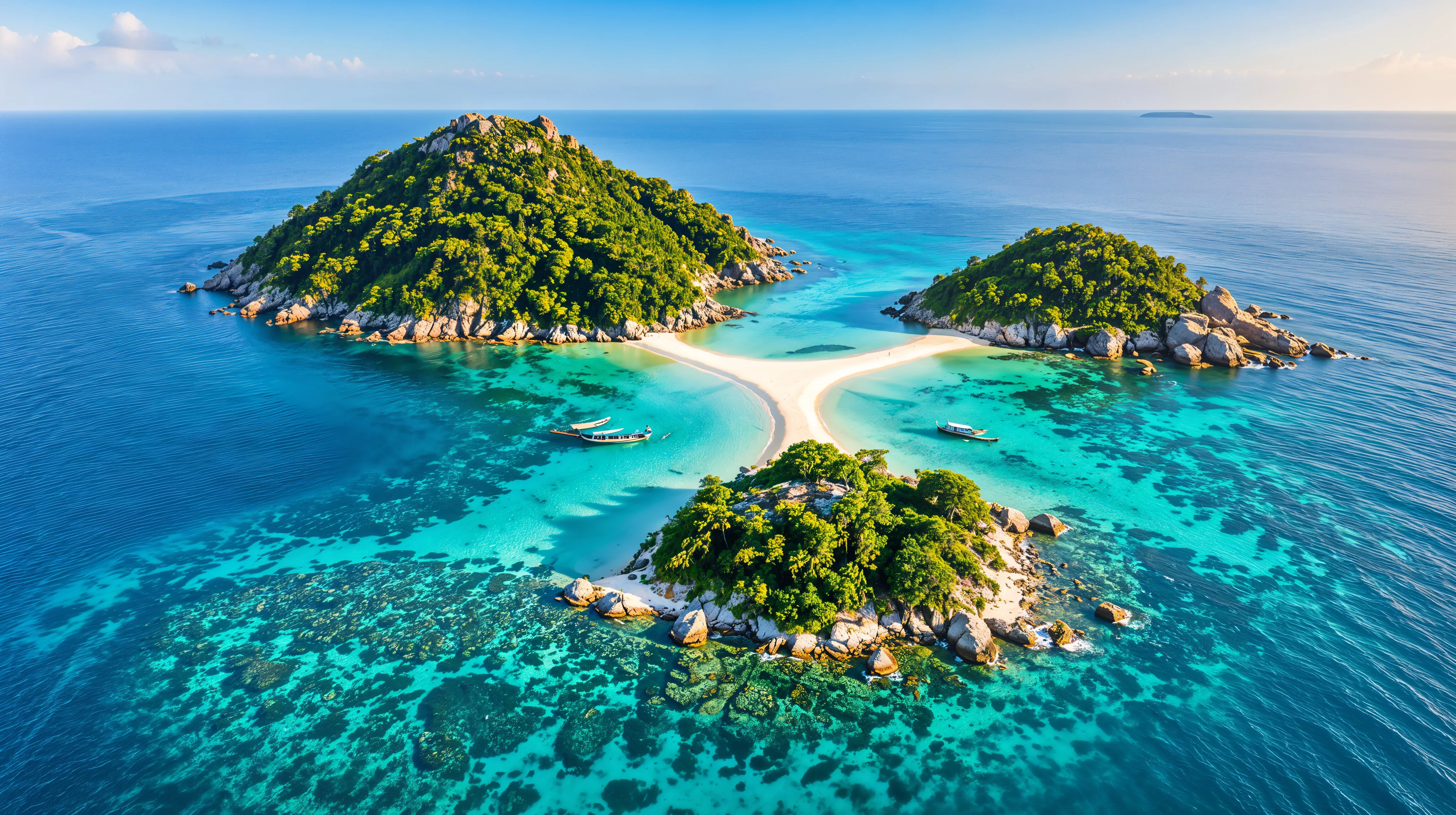
- want to visit three small islands joined by a sandbar: entry to Koh Nang Yuan costs 250 baht.
Choose Koh Phangan if you …
- like waterfalls and hiking: Than Sadet and Phaeng are in national parks, and the highest mountain on the island is Khao Ra at 627 metres.
- want a doctor nearby: Thong Sala has a hospital, while Koh Tao has none for serious cases.
- want to go partying for once: the Full Moon Party on Haad Rin is the biggest event on the island.
Frequently asked questions
How far is it from Koh Phangan to Koh Tao?
Around 45 kilometres; Koh Tao lies north of Koh Phangan. The crossing takes just over an hour and costs 450 to 600 baht.
Is there Grab on the islands?
Not on either of them. On Koh Tao pick-ups serve as taxis; on Koh Phangan shared taxis leave from Thong Sala harbour.
What are the roads like?
On Koh Tao around 80 per cent of the roads are concrete, the rest is dirt track, and there are no pavements. On Koh Phangan some roads are steep, others unsealed and full of potholes.